

Distance
26.8km
Ascent
70m
Walking time
6 h 30 min
Stage 24 / 33 · Camino Francés
Foncebadón Ponferrada
Foncebadón to Ponferrada: 26.8 km, 70 m of ascent and 960 m of descent, about 6 h 30 min on foot. Stage 24 of 33 on the Camino Francés. All stages · Camino Francés
km
26.8Ascent
70mDescent
960mWalking time
6 h 30 minDifficulty
Moderatehighest point
1500mYour Camino, with nothing to worry about
A bed booked every night, luggage that travels on its own and someone on the phone if anything goes wrong. Tell us when and we set it up within 24 h, free and with no obligation.
Elevation profile26.8 km · ↑70 m · ↓960 m · max 1500 m
Distances and elevations are approximate; being checked against GPS tracks. · Updated September 2026
Map
History and what to see
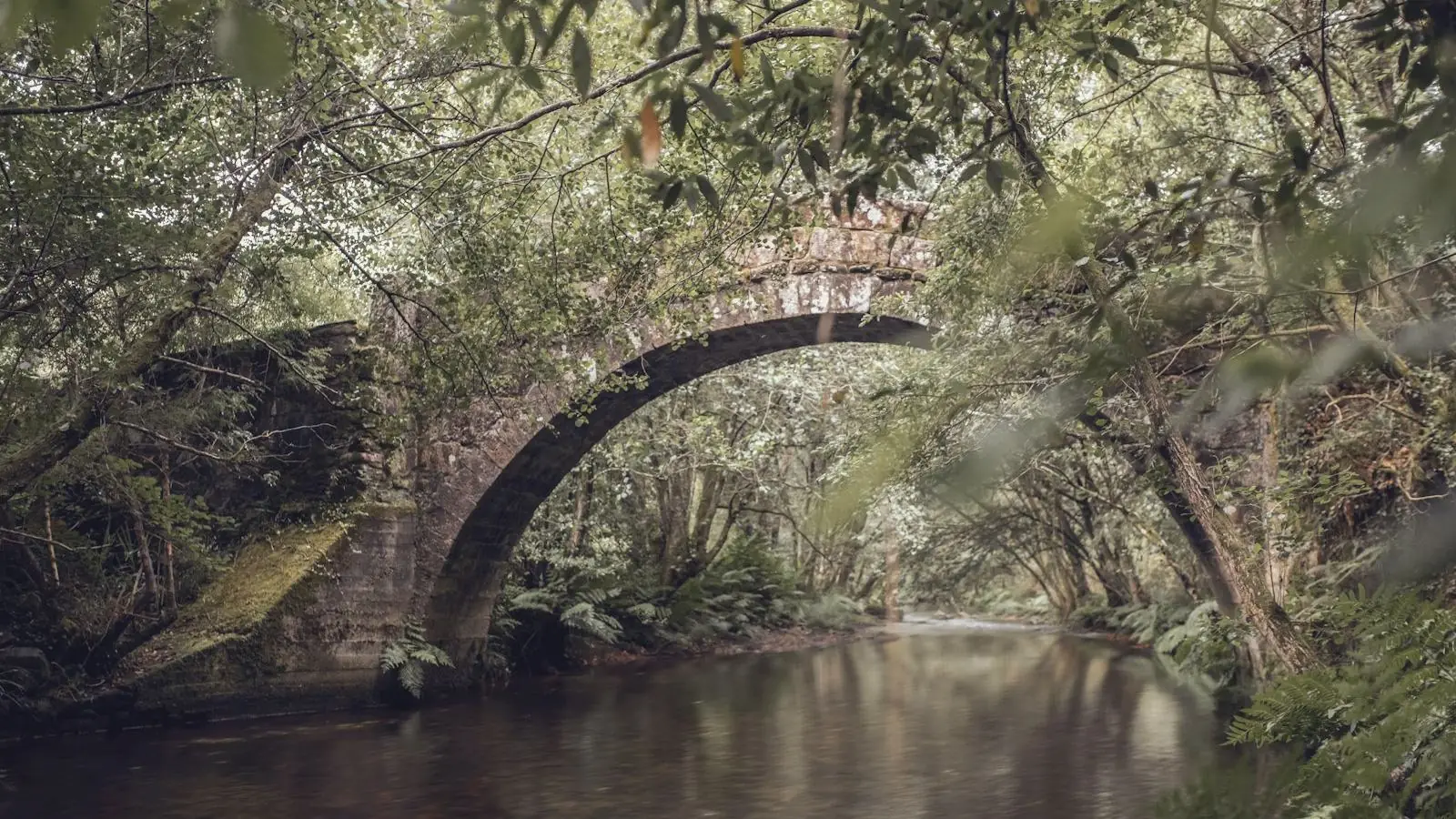
The Cruz de Ferro (1,500 m), where every pilgrim leaves the stone brought from home, is the highest point of the Camino Francés. Manjarín, with Tomás’s Templar refuge, El Acebo with its wooden balconies, Riego de Ambrós and the long loose-stone descent to Molinaseca, with its Roman bridge over the Meruelo, and Ponferrada with the Templar castle.
Villages along the way
| Village | km | Altitude | Services |
|---|---|---|---|
| Foncebadón · Places to stay | 0 | 1430 m | BarAlbergue |
| Cruz de Ferro | 2 | 1500 m | — |
| Manjarín | 4.5 | 1450 m | Albergue |
| El Acebo | 11.5 | 1150 m | BarShopAlbergue |
| Riego de Ambrós | 15 | 920 m | BarAlbergue |
| Molinaseca | 19.5 | 590 m | BarShopPharmacyATMAlbergue |
| Ponferrada | 26.8 | 540 m | BarShopPharmacyATMAlbergueDoctor |
Foncebadónkm 0 · 2
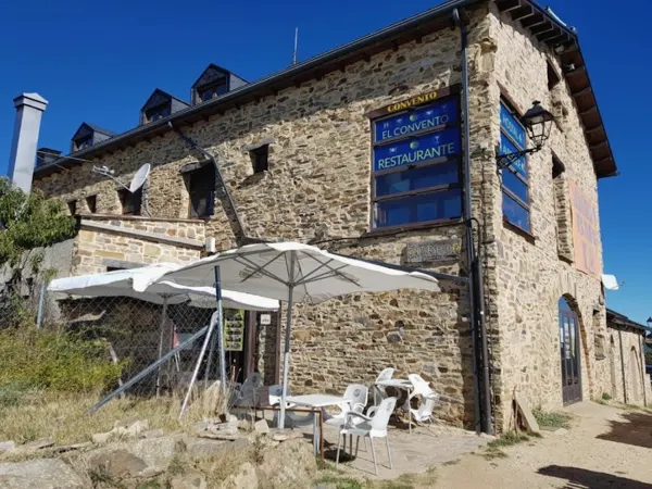
El Trasgu de Foncebadón
Guesthouse · 4 bedsWhere to stay in Ponferrada
No verified accommodation in this village yet. We are completing the directory.
FAQ
How long from Foncebadón to Ponferrada?
About 6 h 30 min at a normal pace, over 26.8 km with 70 m of ascent.
Where to stay in Ponferrada?
We are completing the directory for Ponferrada.
Is it a hard stage?
Difficulty moderate: 70 m up and 960 m down; the highest point is 1500 m.
Plan my Camino
Your Camino organised, nothing to worry about
Rooms booked, luggage transferred, 24 h support. A free, no-obligation quote in your inbox within 24–48 h.