Stage 1 / 11 · Camino Portugués
Porto to Vilarinho
The stage from Porto to Vilarinho is 27.4 km, about 7 h on foot, with 270 m of total ascent and 270 m of descent.
| Distance | 27.4 km |
|---|---|
| Estimated time | 7 h |
| Elevation gain / loss | +270 m / −270 m |
| Difficulty | Moderate |
| Highest point | 114 m |
| Lowest point | 31 m |
| Villages with services | 4: Porto, Maia, Mosteiró, Vilarinho |
| Longest stretch without services | 12.2 km |
| Updated |
Starting in Porto? Where to get the credential
Reviewed:
We organise it for you: bed, luggage and support Plan my Camino
Travelling as a group? Rooms close together, one quote.
Today on the Camino
Finding where you are…
Next village—
To Vilarinho—
You’ve arrived: log the stage
Log stageBeds nearby
Need a taxi or luggage transfer? We’ll arrange it
Where to stay in Vilarinho
You pay at the property.
Where to stay in Porto
Apartamentos The Arc Carrís
House / apartmentAspasios Bonjardim Apartments
House / apartmentB The Guest Downtown
GuesthouseElevation profile
100 m200 m ▲ 114 m PortoVilarinho
Waymarked route (OpenStreetMap); distance measured on the waymarked route; elevations from a digital terrain model.
Map
Zoom in to see more places to stay
What you will see on the way
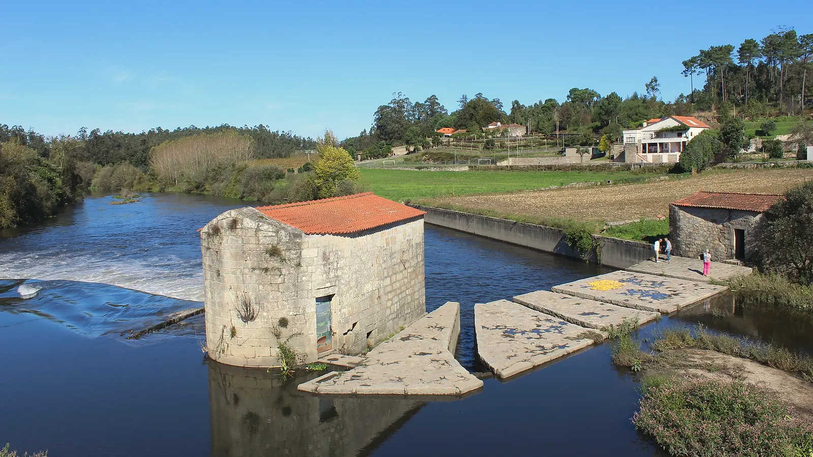
Departure from Porto cathedral (Sé), through the Ribeira and over the Luís I bridge, leaving the port-wine lodges of Gaia behind. After the industrial outskirts the path opens at Mosteiró and Vilarinho, Minho villages with granaries and vines.
History of Vilarinho
Vilarinho is a parish (freguesia) in the municipality of Santo Tirso, in the Porto district, with the status of vila. On the Portuguese Camino it is the usual end of the first stage from Porto, just short of the medieval D. Zameiro bridge over the river Ave.
This is where the city falls away and rural Minho begins. And the best of Vilarinho waits on the way out: a bridge travellers were already crossing eight centuries ago.
What not to miss in Vilarinho
- D. Zameiro bridge
- Church of São Miguel: Vilarinho's parish church
Origins and the Camino
Vilarinho lies in the Ave valley, at the edge of Santo Tirso, and its parish is dedicated to Saint Michael. For centuries it was a farming village; today it belongs to the Porto metropolitan area.
Anecdotes, curiosities and legends
The D. Zameiro bridge over the Ave is already mentioned in the Inquirições of 1220, the royal inquiries of the time. It links Macieira da Maia with Bagunte, in the municipality of Vila do Conde, and is about 100 metres long.
Some sources suggest it was built over an earlier Roman crossing. What is certain is that its layout is medieval and that for centuries it was where travellers from Porto to Barcelos crossed the Ave.
Pilgrim tip
Save the D. Zameiro bridge for the next morning: it is the first highlight of the stage to Barcelos and deserves an unhurried stop.
Villages along the way
| Village | km | Altitude | Services |
|---|---|---|---|
| Porto · Places to stay | 0 | 80 m | BarShopPharmacyATMDoctorWater fountain |
| Maia | 12.2 | 90 m | BarShopPharmacyATMDoctorWater fountain |
| Mosteiró | 18.3 | 70 m | BarATMWater fountain |
| Vilarinho | 27.4 | 60 m | BarShopATMDoctor |
© OpenStreetMap
Related guides
Your Camino organized, nothing to worry about
Free, no obligation · Reply within 24 h
Xacobeo 2027 Holy Year: dates and when to book
Do you run a business on this stage?Advertise here