Stage 3 / 14 · Camino Primitivo
Salas to Tineo
The stage from Salas to Tineo is 20.4 km, about 6 h 15 min on foot, with 730 m of total ascent and 310 m of descent.
| Distance | 20.4 km |
|---|---|
| Estimated time | 6 h 15 min |
| Elevation gain / loss | +730 m / −310 m |
| Difficulty | Demanding |
| Villages with services | 4 |
| Updated |
So you have it even with no signal.
Today on the Camino
Finding where you are…
Next village—
To Tineo—
You’ve arrived: log the stage
Log stageBeds nearby
Need a taxi or luggage transfer? We’ll arrange it
Elevation profile
Waymarked route (OpenStreetMap); distance measured on the waymarked route; elevations from a digital terrain model.
Download the route for your GPS app (GPX)
Where to stay on this stage
Map
History and what to see
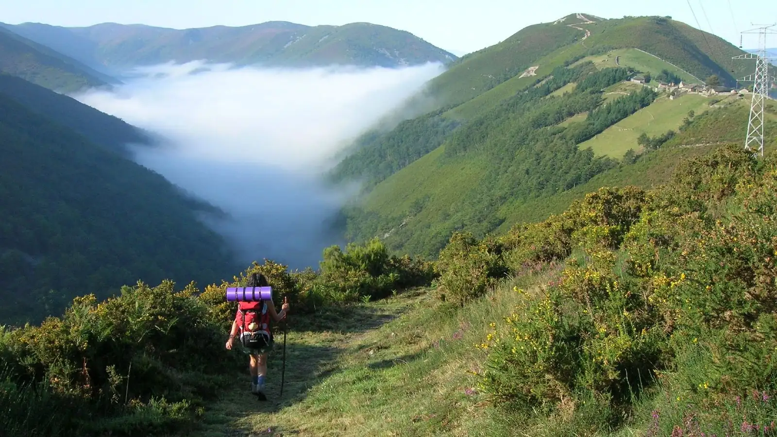
Leaving Salas, the path climbs along the Nonaya river, through woodland and over old stone bridges; a short detour leads to its waterfall. At the top of the climb the views open up. In Tineo, step into the church of San Pedro, a former Franciscan friary church from the late 13th century.
Villages along the way
| Village | km | Altitude | Services |
|---|---|---|---|
| Salas · Places to stay | 0 | 240 m | BarShopPharmacyATM |
| La Espina | 8.8 | 662 m | BarShopPharmacyATM |
| Santolaya | 16.7 | 711 m | BarShop |
| Tineo · Places to stay | 20.4 | 668 m | BarShopPharmacyATM |
Where to stay in Tineo?
No fees · pay at the property
In the Community
Pilgrims getting ready for the Camino Primitivo: share your start date and walk in company.
Related guides
Your Camino organized, nothing to worry about
Tell us your section and month; we handle the rest.